Transportation Infrastructure
Florida Keys Hurricane 1935
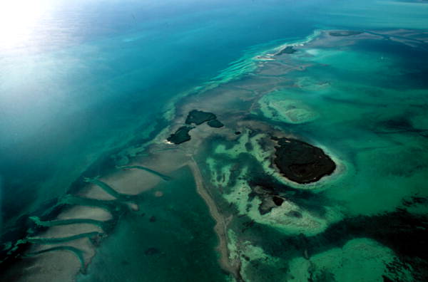
Much of the waters of the Florida Keys are shallow shoals over which small marine craft may pass over without running aground.

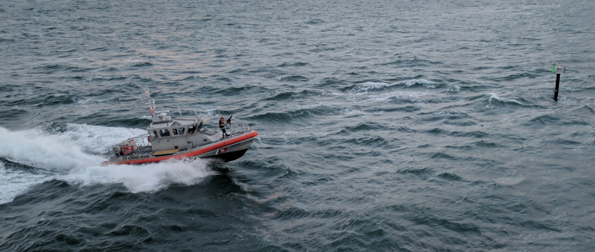
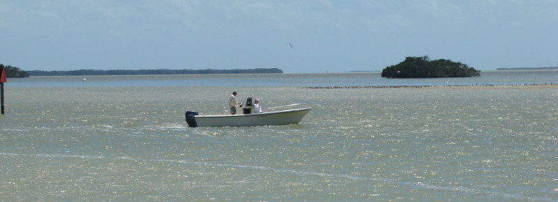
However, even with small craft, some navigation skill is required. Consider the photograph above. In the background, between the boat and the shore, a light colored strip of water indicates there is shallow sandy bottom there, which the boat should avoid. Hence, the boat is proceeding parallel to that strip.
By standing tall to get a better view of the surrounding water, the driver is able to identify the deeper areas to guide the boat through. These deeper areas are called channels.
Channel Markers
Sometimes, it is not easy to find a channel. When the water has wind waves, you may not be able to see the bottom to identify where the shallow and deep areas are. In that case, boaters can look for markers to identify where the channels are.
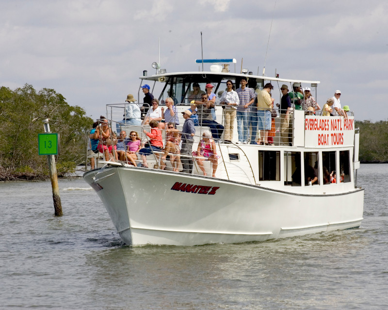
Larger boats must always look for markers, because they require deeper water than small boats, and should never be outside of a marked channel.
Official channel markers, maintained by the U.S. government, are red or green. Here is an example of a red channel marker:
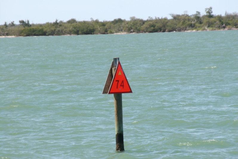
The color and number of the channel marker can be used to find that marker on a nautical map. Here is that marker on a map:
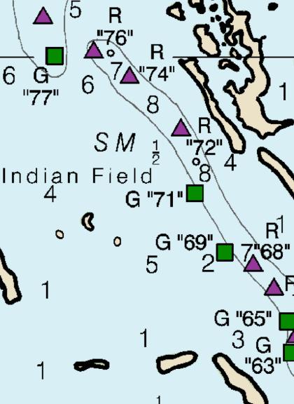
Finding a channel marker on a map can help you determine which way to go, and show which side of the marker you should be on.
Another way to know which side of a channel marker to be on, is to remember The Three Rs:
“Red on the Right side when Returning”
When you are following a channel to return to port, the red markers will be on your right side.
For example, the following boat is leaving port, because the red marker they passed (far left in photo) is NOT on their right side. When they are returning to port, the red markers will be on their right side.
Channel markers that are not installed and maintained by the government are called private markers. Private markers can be as simple as pounding a long pipe or pole vertically into the shallow bottom.
Larger private channel markers may appear on nautical charts, labeled “Priv” with a disclaimer that they are not government maintained. Official channel markers are required by law to be maintained by the government.
Nautical Charts
Nautical charts are government maps that assist in navigation, for example showing water depths, locations of markers and light houses, reefs, shorelines, etc.
Originally nautical charts were paper maps mostly used on larger boats. Nautical charts are now also available in electronic form, for boats that have electronic equipment capable of using the new maps.
Florida Keys Hurricane 1935
Page 2 :
Page 3 :
Page 4 :
Page 5 :
Page 6 :
Page 7 :
Page 8 :
Page 9 :
Page 10 :
Page 11 :
Page 12 :
Geography
Railroad
Bridge Design
Hydro-Geomorphology
Marine Navigation (this page)
Planning
Snake Creek
Windley Key
Whale Harbor
Matecumbe
Long Key
Return to: Architecture, Engineering & Construction